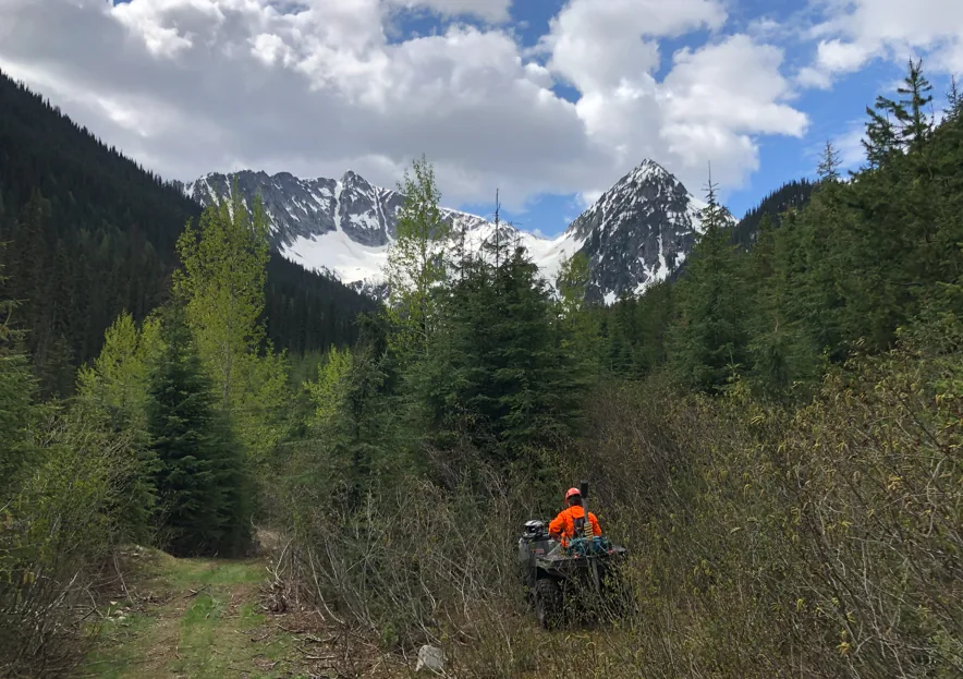
01 / Geohazards
Geohazard mapping & deactivation prescriptions
Geolocated slumps, washouts, tension cracks, drainage structures, and ditchline conditions; completed deactivation prescriptions and retirement conformance inspections.
01 / Geohazards
Geolocated slumps, washouts, tension cracks, drainage structures, and ditchline conditions; completed deactivation prescriptions and retirement conformance inspections.
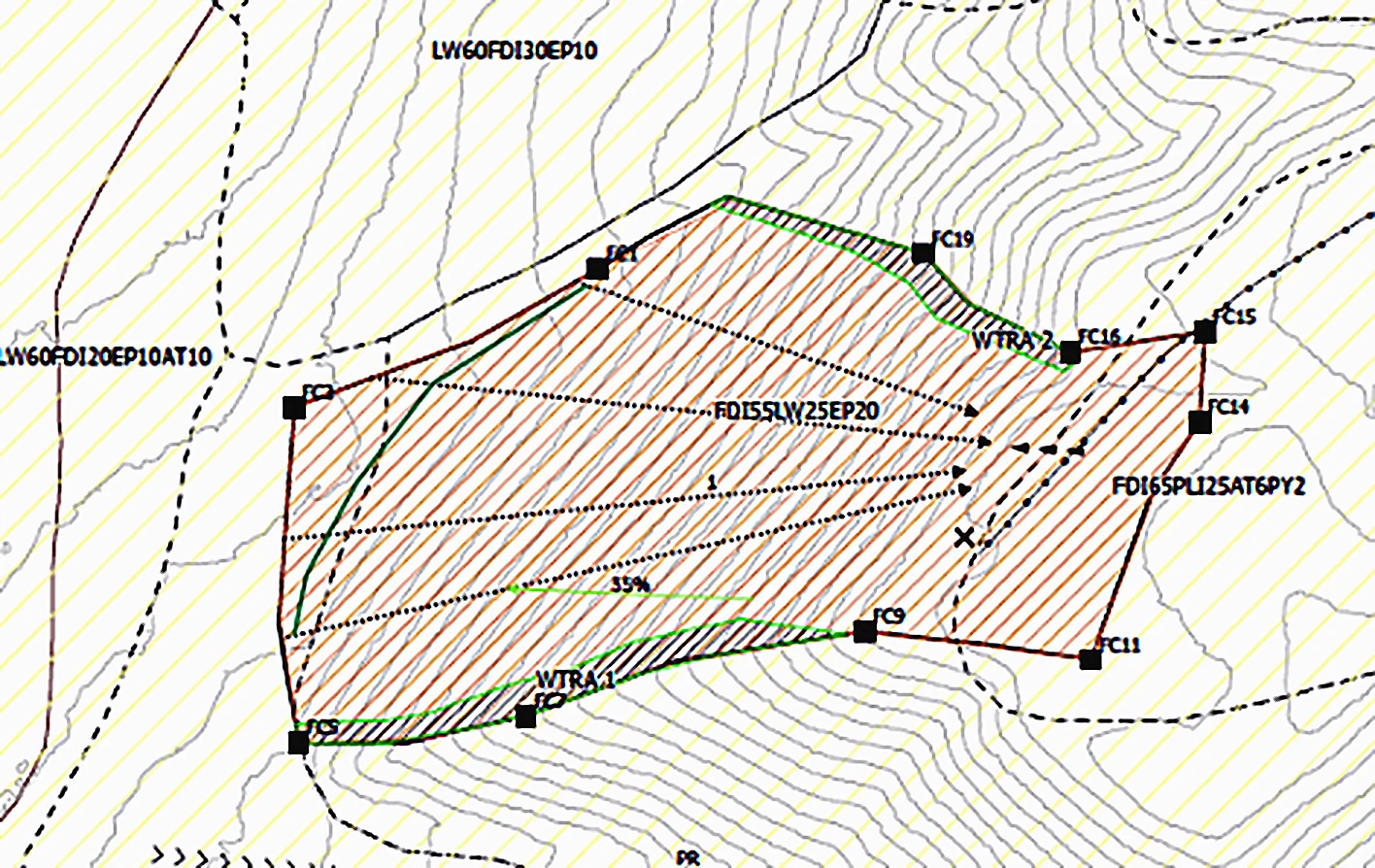
02 / Silviculture
Evaluated ecological characteristics, identified trees and shrubs, formed site prescriptions, conducted block layout, and developed knowledge of forest road construction processes.
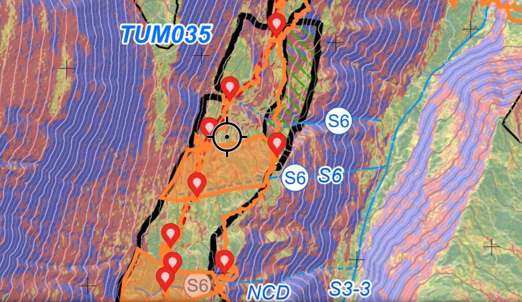
03 / Field systems
Collected and managed reliable field observations with Survey123, Avenza, SNAP, and GPS while working independently across challenging weather and terrain.
04 / Tree planting
Nearly a decade of tree planting experience, working safely and efficiently in demanding terrain and changing weather.