01 / Web mapping
Revelstoke Community Forest Corporation
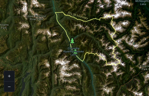
Developed an interactive community forestry map with carefully configured boundaries, symbology, and geographic context for clear public exploration.
01 / Web mapping
Developed an interactive community forestry map with carefully configured boundaries, symbology, and geographic context for clear public exploration.
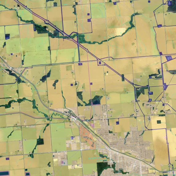
02 / Spatial analysis
Contributed to the Provincial Human Disturbance layer with the Cumulative Effects branch, investigating spatial data quality issues and documenting reproducible QA/QC workflows in ArcGIS and QGIS.
03 / Web mapping
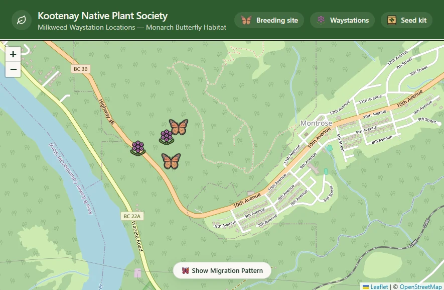
Created web mapping tools that make native plant information and spatial context accessible for environmental education and outreach. Public access is coming soon.
04 / Remote data
Created flight plans and safely operated RPAS in remote areas, bringing together field awareness, GPS practice, and spatial datasets for accurate environmental observation.